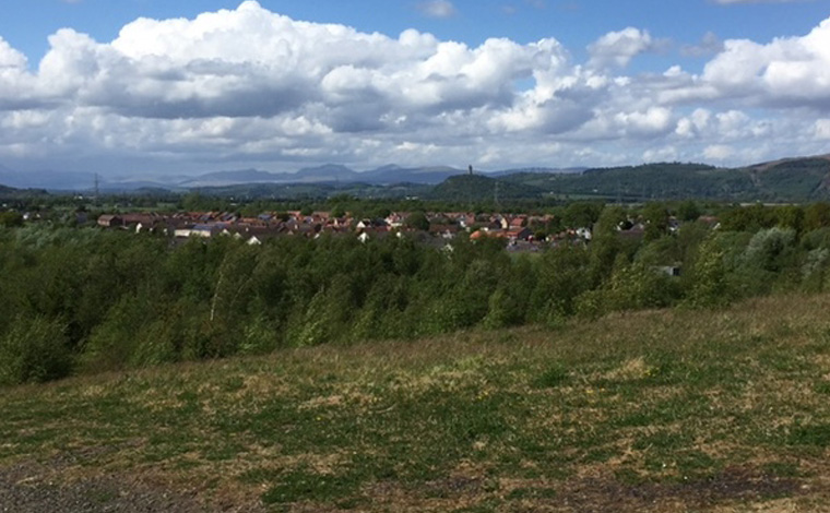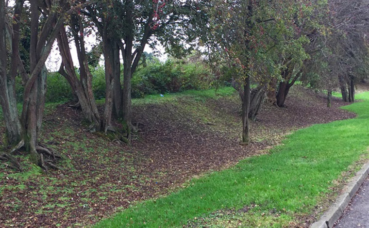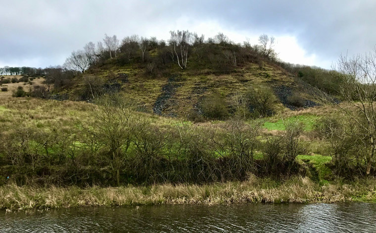
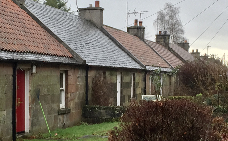
Polmaise
This walk narrates the stories of the both Millhall (Polmaise 1/2 and Fallin (Polmaise 3/4) collieries. It was designed and researched by Catherine Mills with the support of the local residents Dan Tetstall and Rhiannon Spiers.
Find out more about walking routes.
The route narrates the stories of the Devon, Tillicoutry and Meta pits together with the Meta brickworks through the remaining landscape features. It was designed and researched by Catherine Mills with the support of local residents, Sheila Cramm, Peter and Linda Howson and the Sauchie Community Group. ‘Down the Railway Line’ featured on the walk, is written, composed and sung by Andrew Huggan.
This walk narrates the stories of the both Millhall (Polmaise 1/2 and Fallin (Polmaise 3/4) collieries. It was designed and researched by Catherine Mills with the support of the local residents Dan Tetstall and Rhiannon Spiers.
The walk features the Alloa Coal Road and the first Alloa Waggonway, 1767-68 and is one of a series of four walks that depict the chronological development and decline of horse-drawn coal wagonways and guide users round some of the best-preserved sections of the routes. All four Alloa Waggonway routes were researched and designed by The Clackmannanshire Field Studies Society (CFSS).
The second walk features the extension of the Alloa Waggonway north to Collyland constructed in 1772, and the short branch lines serving the Pumpeye, Fly and No. 9 pits.
The third walk focuses on the waggonway extension to the Devon Pits and Ironworks, in the period 1806-1835.
The final walk in the series explores the waggonway extensions at Carsebridge and Closure, 1853-1924.
Image credit: Steve Peters
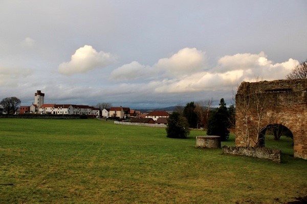
The walk narrates the story of Scotland's oldest (and at one time largest) reservoir, its connection to coal mining, its role as a public water supply through to its present day status as a 370 acre Country Park and Nature Reserve. It was designed and researched by Rebekah Salem Dalgety, supported members of the CFSS as part of the MSc environment, Heritage and Policy Programme.
There are two circular but interlinked walks available in this series. The first, ‘Plean’ focuses on the history of the (East) Plean Colliery and is primarily centred on Plean Country Park and the wider village environment. The second ‘Cowie to Carnock’ features the Bannockburn Colliery at Cowie and the site of the coal workings and coke ovens at Carnock. It also celebrates some of the window art inspired by the local mining landscape and created by local residents in collaboration with artist Joanne Boyle from Vantage Points/Scene Stirling. The work was part of a ‘Window Art Trail’ that took place in Spring 2021. There is the potential to combine the routes as a single walk via the Plean to Cowie cycle path.
Along the link route there 25 small painted stones that form the ROCK TRAIL designed as treasure hunt for children (5 years +). These are randomly located on walls, gate, and fence posts, within tree routes and on the ground. You can download the accompanied quiz .
The stone artwork was also inspired by the landscape and designed and painted by local school children, again working with Joanne from Vantage Points.
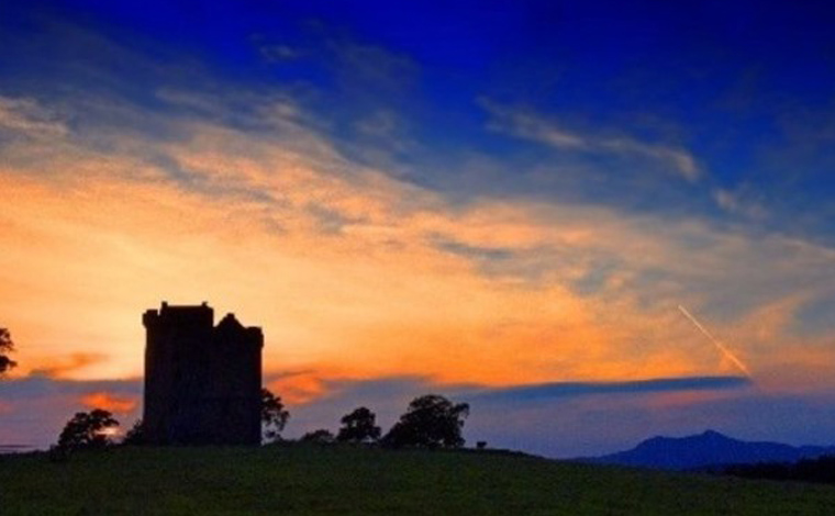
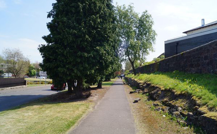
Image credit: John McPake. See Tower Route gallery
This walk is the first of a series of four walks designed by Clackmannan Heritage Group (CHG) and created jointly with Catherine Mills and student volunteer Kat Pruente and based on research undertaken by CFSS. All four routes are available in leaflet form produced by CHG. The walks differ from the original focus solely on coal mining and the associated legacies to include both the industrial history and the cultural heritage of the town and its wider environs. In terms of coal mining history the route covers the Craigrie Lade, the Waggonway, the Pow (harbour), and the sites of Watermill and Speedwell pits.
In terms of coal mining history, the second walk covers the Craigrie and Garrison Lades, the Waggonway, the sites of Zetland and Tullygarth pits, and the Cherryton and Gartmainston Brickworks.
This third route focuses on the coal mining village of Kennet and the site of the Brucefield Pit.
This short two mile circular walk explores the cultural heritage of Clackmannan, and although the focus differs from the current routes on the app which emphasise the history of coal mining and the associated industries, it completes the series of four walks created and designed by the Clackmannan Heritage Group.
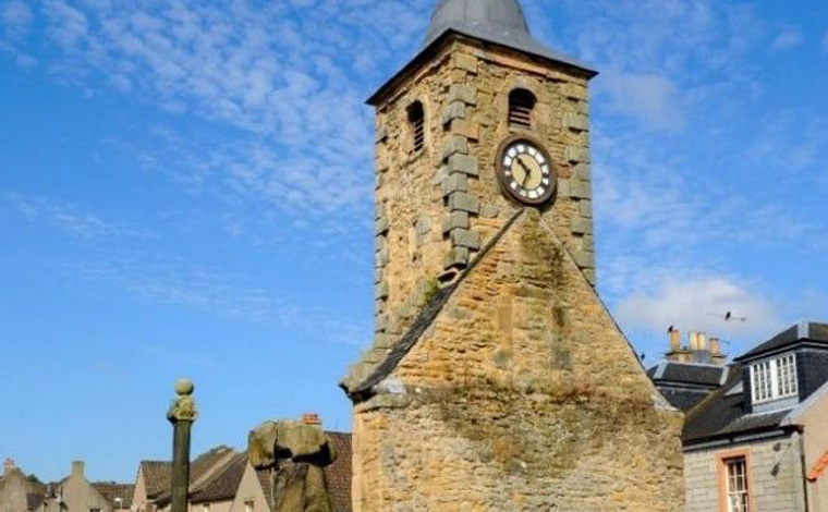
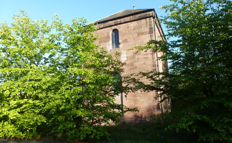
Image credit: John McPake
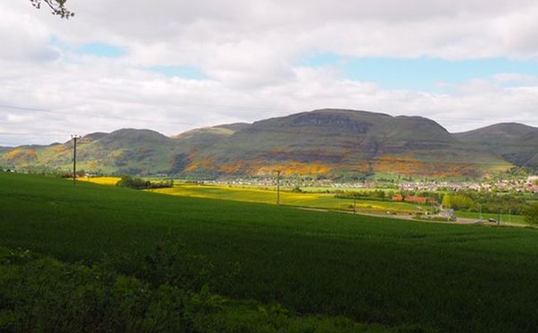
The walk focuses on the Dollar and Harviestoun coal mines. It was designed and researched by Catherine Mills in collaboration with Royston Goodman and John Barker (retired miners) and the Dollar Museum.
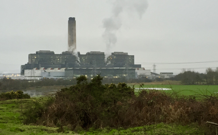
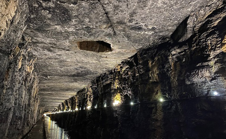
This route links the collieries in the ‘Longannet Complex’, Bogside, Castlehill, Solsgirth, and Castlebridge. It is designed as a cycle route (tracing the route of the 5 mile underground conveyor belt, the longest in the world at the time of its construction) that brought coal from the mines to Longannet power station. It is being designed and created by retired miner, Royston Goodman who cycled the route underground to service the belt during his time as a miner, with the support of Catherine Mills.
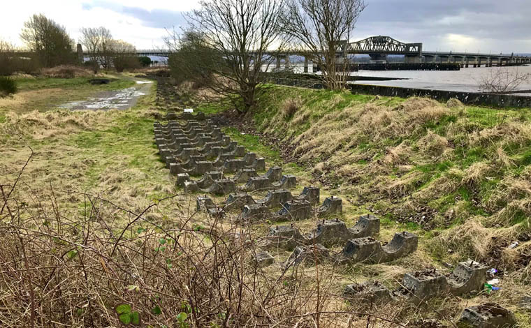
The 4 mile circular walk explores the post extractive landscape at the confluence of the Rivers Forth and Carron and was designed and created by project volunteer, Ian Mackintosh. Along the route you will visit the sites of the Grangemouth Colliery company pits, the brick and tile works, together with the associated mineral railway and river wharves.
During July and August 2021 a series of temporary site-specific physical installations, ‘Inscriptions in Arcadia’, commissioned by Forth Valley Art Beat and created by visual artist Audrey Grant were located along part of the route. These were designed to encourage reflection on landscapes present and imaginary.
To provide the art project with a lasting presence and to allow walkers to experience the post-industrial landscape through a very different lens, the installations were photographed in situ and included on the route.
The circular walk (in the early stages of planning) begins at the South Bantaskine Estate public park. It will include the sites of the South Bantaskine, Callendar, Policy and Redding pits, together with the Callendar brickworks and the associated railway and canal legacies (including the Falkirk tunnel, the longest to be built in Scotland). The route is in the very early planning stage, and is being designed and researched by project volunteer Nicola Howie.
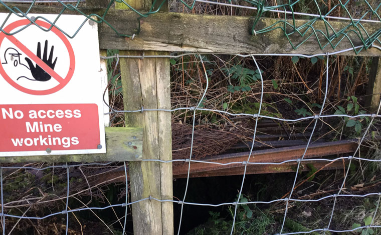
This route (currently under development) is an 8 km circular walk that begins in the colliery village of Twechar and follows the route of the Forth and Clyde Canal to Auchinstarry basin, before returning to Twechar via Kilsyth. There is an optional loop of 4 km to the substantial remains of the Dullatar Colliery. It is being designed and researched by Lisa Snedden as part of the MSc Environment, Heritage and Policy programme with the support of volunteer Kirsty Meennagh and in collaboration with the local community.
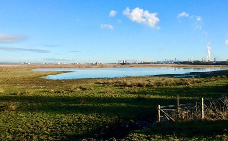
The route (currently in the early stages of planning) will link the two coal fired power stations at Kincardine, Kincardine (demolished in 2001) and Longannet (closed in March 2016 and in the process of demolition) to the ash lagoons at Preston Island. The artificial island also contains the remains of coal mining, 18th century salt panning and associated housing. The walk will also cover the Moat Pit the 17th shaft sunk at sea below the high water mark at Culross and site of Valleyfield colliery. The route is being designed and created by local Kincardine resident Andy Willo in collaboration with Catherine Mills.
This walk (currently in the early stages of planning) begins in the Ochil hills Woodland Park and visits the sites of the early 18th silver mines which yielded the richest deposit of native silver in the UK and later a rich vein of cobalt. The route continues via Alva Glen and its history of water power, to the site of the Alva brickworks and the Caroline or Cobblecrook pit with its surviving tramway embankments. The route was suggested by Alloa resident Euan Ramage who volunteers with the Woodland Trust.
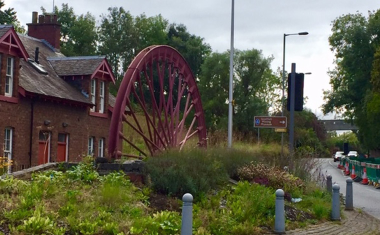
The 4 mile (6.5 km) circular walk begins and ends at the National Mining Museum Scotland located at Lady Victoria Colliery (The Lady). The route will be live for April 2020. As well as a focus on The Lady, the route covers the sites of Lingerwood and Bryans pits and explores the wider industrial history. There is also an optional loop to visit Newbattle Abbey where early coal mining in Midlothian began. The key focus of the walk is the conservation village of Newtongrange (Nitten in local dialect or Nitten by the Bing) and the social landscape, the sporting, leisure and housing legacies associated with the mining industry. The route was created and designed in collaboration with the Museum.
The proposed route focuses on Bo’ness, which originated as a series of small villages that expanded over time into one town that has a long industrial history. The town’s connection with coal mining spans over 900 years; and the number of pits that existed in the area are believed to exceed over 200. The walk will cover several of these locations, together with an exploration of the wider industrial and cultural history of the town.
It is being researched and created by Shannon Osborne for her Dissertation Portfolio as part of a BA in Heritage and Tourism. The route will be ready for walking early in the summer of 2021.
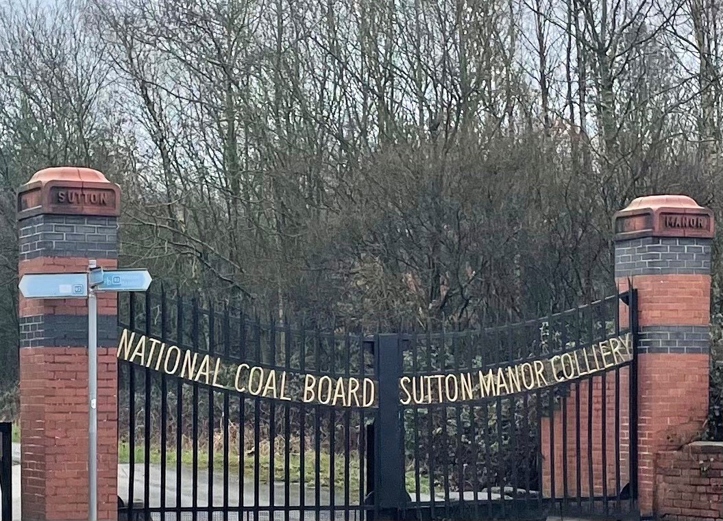
The route narrates the story of Sutton Manor Colliery (St Helen’s last colliery) which opened in 1906, and closed in May 1991. The surface buildings were demolished in 1992, leaving the main gates standing, and in 2001 the brownfield site was leased to the Forestry Commission, who transformed it into woodland planting more than 50,000 new trees which now forms part of the Bold Forest Park.
At the summit of the spoil heap sits the Dream sculpture over 200 feet above sea level with some views across to the Pennines, Clwydian hills and on a clear day Snowdonia created by Catalan artist Jaume Plensa as part of the Channel 4 Big Art project.
The walk has been designed and created by former miner at Sutton Manor Jim Housley and the North West Miners’ Heritage Association.
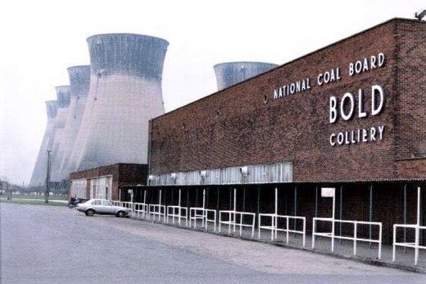
The route tells the stories of the Clock Face and Bold Collieries which closed March 1966 and March 1985 respectively, and is the second in the series of walks created by former miner Jim Housley and the North West Miners’ Heritage Association covering the St. Helen’s area. At capacity the two sites employed around 2000 workers and mined the same seam as Sutton Manor. Bold Colliery also served the adjacent coal-fired power station which closed in 1991.
It is a circular route of around 5 miles taking in the reclaimed land on both sites, which now forms part of Bold Forest Park. The walk will also include a link to the Sutton Manor Colliery site and the Dream Sculpture. It will be live on the app around mid-October 2021.
The walk is the first to venture out with the Scottish Coal Field and south of the border to explore the site of Desford Colliery, in the Hinckley and Bosworth District of northwest Leicestershire. The mine which was originally sunk in 1900 operated for 84 years before closure. The surface buildings along with the associated housing have been demolished and the site has been remediated and repurposed and is now public open space. The route (which is in the early stages of planning) will tell the story of the pit using ‘a before and after’ interpretation of the site together with the surviving landscape features. It has been designed and created in collaboration with Susan Woodward and the Coal Mining in Leicestershire project.
.jpg)
The 5 mile circular walk begins and ends at the Elvington and Eythorne Heritage Centre located in the former pit village of Elvington in the Kent Coalfield. It will take you on a journey through the mining, associated railway history and the wider cultural heritage of the area. You will follow the route the miners took to work at Tilmanstone colliery, visit the pit yard and the remains of the East Kent Light Railway that served the collieries including the abandoned Elvington Halt. Then on to Tilmanstone village, it’s church and past North Court and Dane Court (once homes of the Rice family), Thornton Farm and the remains of Knowlton Halt, and return along the Downs.
The route is designed and created by Steve Durbidge, Elvington and Eythorne Heritage Group.
You can also look at walk locations marked on Google Maps.