Article
Learning-Based Tracking of Crop Biophysical Variables and Key Dates Estimation From Fusion of SAR and Optical Data
Silva-Perez C, Marino A & Cameron I (2022) Learning-Based Tracking of Crop Biophysical Variables and Key Dates Estimation From Fusion of SAR and Optical Data. IEEE Journal of Selected Topics in Applied Earth Observations and Remote Sensing, 15, pp. 7444-7457. https://doi.org/10.1109/jstars.2022.3203248
Article
Multitemporal Polarimetric SAR Change Detection for Crop Monitoring and Crop Type Classification
Silva C, Marino A, Lopez-Sanchez JM & Cameron I (2021) Multitemporal Polarimetric SAR Change Detection for Crop Monitoring and Crop Type Classification. IEEE Journal of Selected Topics in Applied Earth Observations and Remote Sensing, 14, pp. 12361-12374. https://doi.org/10.1109/jstars.2021.3130186
Conference Proceeding
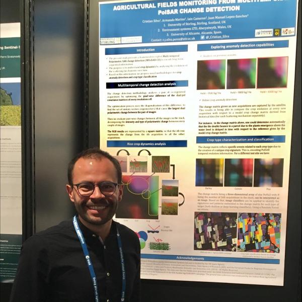
Agricultural Fields Monitoring with Multi-Temporal Polarimetric SAR (MT-POLSAR) Change Detection
Silva C, Marino A, Lopez-Sanchez JM & Cameron I (2021) Agricultural Fields Monitoring with Multi-Temporal Polarimetric SAR (MT-POLSAR) Change Detection. In: IGARSS 2020 - 2020 IEEE International Geoscience and Remote Sensing Symposium. 2020 IEEE International Geoscience and Remote Sensing Symposium (IGARSS 2020), Waikoloa, HI, USA, 26.09.2020-02.10.2020. Piscataway, NJ, USA: IEEE. https://doi.org/10.1109/igarss39084.2020.9324626
Conference Proceeding
Using C-Band SAR and Temperature to Monitor Tropical Agricultural Fields
Silva C, Marino A & Cameron I (2021) Using C-Band SAR and Temperature to Monitor Tropical Agricultural Fields. In: IGARSS 2020 - 2020 IEEE International Geoscience and Remote Sensing Symposium. 2020 IEEE International Geoscience and Remote Sensing Symposium (IGARSS 2020), Waikoloa, HI, USA, 26.09.2020-02.10.2020. Piscataway, NJ, USA: IEEE. https://doi.org/10.1109/igarss39084.2020.9324542
Article
Monitoring Agricultural Fields Using Sentinel-1 and Temperature Data in Peru: Case Study of Asparagus (Asparagus officinalis L.)
Silva-Perez C, Marino A & Cameron I (2020) Monitoring Agricultural Fields Using Sentinel-1 and Temperature Data in Peru: Case Study of Asparagus (Asparagus officinalis L.). Remote Sensing, 12 (12), Art. No.: 1993. https://doi.org/10.3390/rs12121993